Your bag is empty
Don't miss out on great deals! Start shopping or Sign in to view products added.
Shop What's New Sign in
Available in stock
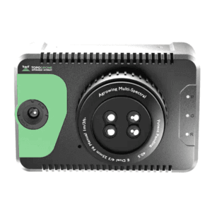
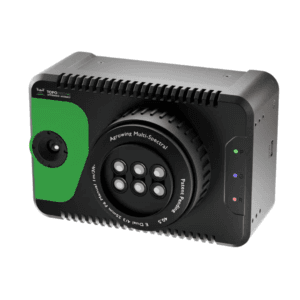
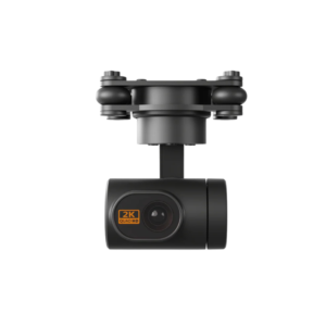
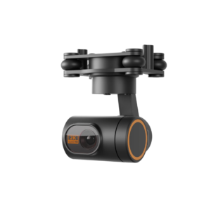
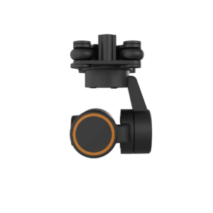
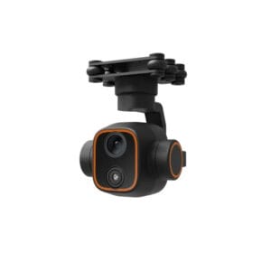
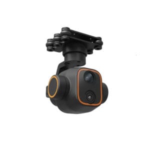
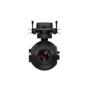
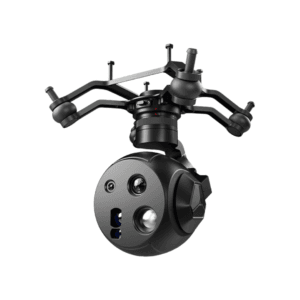
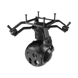
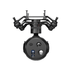
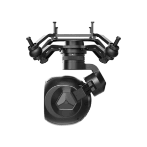
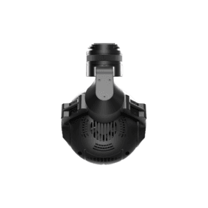
225MP full-frame sensor for high-definition oblique imaging
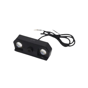
Dual lens options: 40mm and 56mm for flexible operations
5-channel real-time 4K/1080P video transmission
Compact and durable with precise 10?s exposure feedback
Optimized Performance for Urban Mapping and 3D Reconstruction
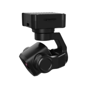
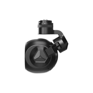
The DG4P Riebo Performance Series is a precision-engineered oblique photography camera developed for geospatial professionals who demand accurate, high-quality imaging for 3D mapping and city modeling. With a total resolution of 225MP, it captures rich, detailed visuals from multiple angles, making it ideal for photogrammetry and GIS applications.
Balanced Imaging Power and Compact Design
Equipped with a 36 x 24mm full-frame sensor, the DG4P strikes a balance between clarity and size. Its compact dimensions of 145 x 145 x 114 mm make it suitable for integration into a wide range of UAV platforms, offering exceptional portability without sacrificing performance.
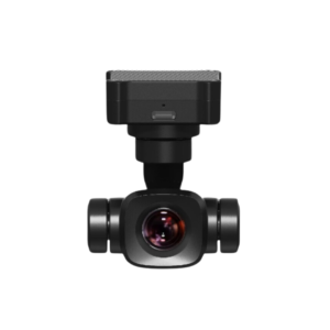
Dual Focal Length Lenses for Flexible Operation
The camera supports 40mm and 56mm focal lengths, providing flexibility for different altitudes and target areas. These interchangeable lenses ensure adaptability for both wide-area mapping and detail-intensive imaging missions, helping professionals handle diverse field conditions.
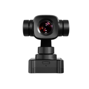
Multi-Angle Coverage with Optimized Field of View
With horizontal FOVs of 48? and 36?, and vertical FOVs of 34? and 24?, the DG4P is designed to capture comprehensive oblique imagery. This feature enables accurate modeling of urban environments, building facades, and infrastructure elements in true 3D.
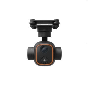
High-Speed Data Transfer and Real-Time Video
The camera includes 5-channel real-time video transmission at 4K and 1080P @ 30fps, giving operators live feedback during aerial surveys. A 10?s exposure feedback accuracy ensures precise synchronization with positioning systems, resulting in highly accurate georeferenced imagery. Data is exported swiftly via an external high-speed module, minimizing post-processing time.
Reliable and Efficient for Professional Applications
With its rugged design and consistent output, the DG4P is well-suited for demanding fieldwork. Whether you’re managing a smart city project or conducting large-scale cadastral mapping, it delivers the imaging performance you need to get results faster and with greater precision.