Your bag is empty
Don't miss out on great deals! Start shopping or Sign in to view products added.
Shop What's New Sign in
Available in stock
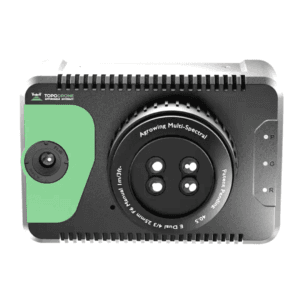
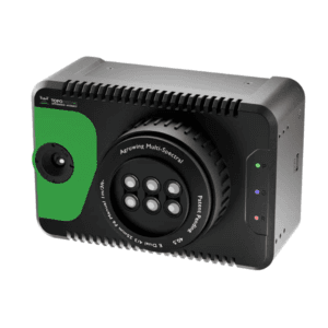
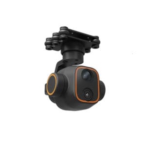
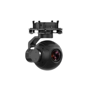
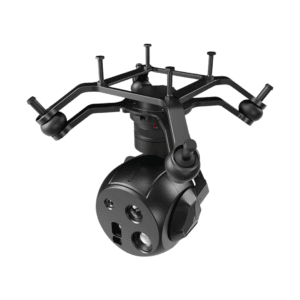
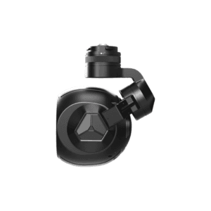
Precision Imaging for Professional Surveying
The DG4Pros2 is a flagship-grade geospatial mapping camera engineered for high-accuracy aerial missions. With a total resolution of 225MP, this advanced imaging system meets the stringent requirements of professional surveyors and geospatial data professionals. Whether for orthophoto generation, 3D modeling, or infrastructure mapping, it delivers consistent, high-definition results in every flight.
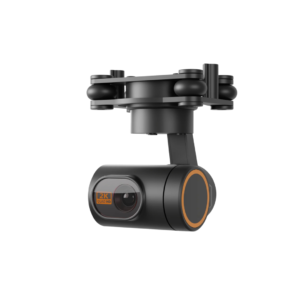
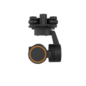
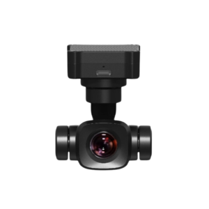
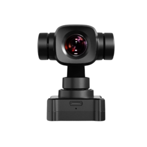
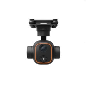
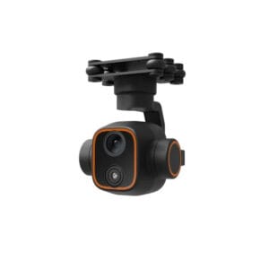
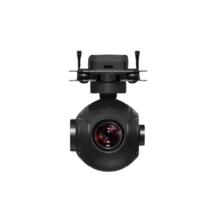
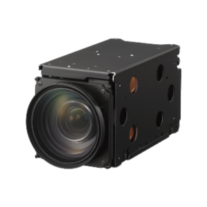
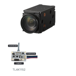
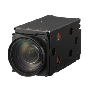
Compact and Powerful for UAV Integration
Built with a compact form factor of 145 x 145 x 114mm, the DG4Pros2 fits seamlessly into a wide range of UAVs. It integrates effortlessly into mapping drones, offering a balanced solution for weight-sensitive aerial operations. Despite its size, it houses a full-frame 36 x 24mm sensor, enabling the capture of sharp, high-contrast images across large survey areas.
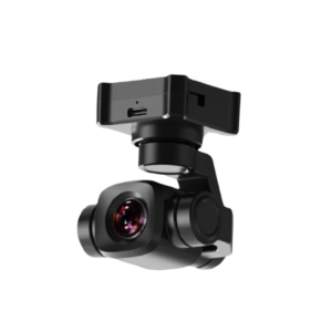
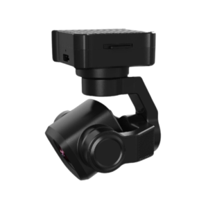
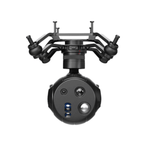
Dual Focal Length Versatility
Designed for multi-mission flexibility, the DG4Pros2 comes with interchangeable 40mm and 56mm focal lengths. This allows survey teams to adapt the camera setup based on the scale and objective of the project. Use the 40mm lens for broader coverage or the 56mm lens for higher detail in narrow corridors or high-altitude flights.
Wide Field of View for Optimized Coverage
The camera offers a horizontal field of view of 48? or 36?, paired with a vertical field of view of 34? or 24?, depending on the lens in use. These optimized angles help reduce flight time by increasing image swath width, which enhances operational efficiency for both large-area and focused site surveys.
Real-Time Video Transmission and Ultra-Fast Feedback
Equipped with 5-channel real-time video transmission, the DG4Pros2 supports both 4K and 1080P streaming at 30fps. This capability enables live observation and monitoring during flight operations. Additionally, it features 10?s exposure feedback accuracy, which ensures perfectly timed imaging ? essential for precise GNSS and IMU integration.
Efficient Data Handling
Data is managed through an external high-speed transfer module, which allows rapid image offloading and reduces processing time in the field. This streamlined workflow helps reduce project turnaround times while maintaining data integrity.
Durable and Field-Ready
The DG4Pros2 is designed with robustness in mind. Its build quality ensures consistent operation in rugged field environments, making it a reliable tool for mission-critical geospatial applications.