Your bag is empty
Don't miss out on great deals! Start shopping or Sign in to view products added.
Shop What's New Sign in
Available in stock
305MP resolution with 35.9x23.9mm sensor
Dual lenses: 40mm and 56mm for mapping flexibility
1080P real-time video feed at 30fps
High-speed data output and 50?s exposure sync
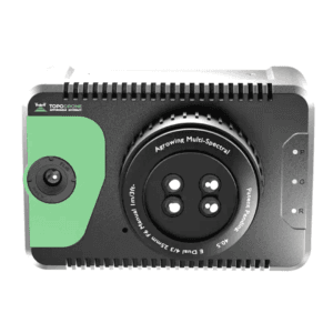
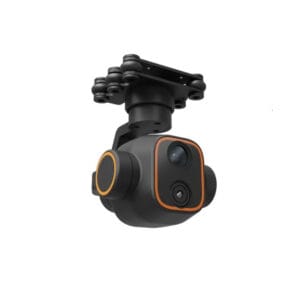
High-Resolution Imaging Engineered for 3D Mapping
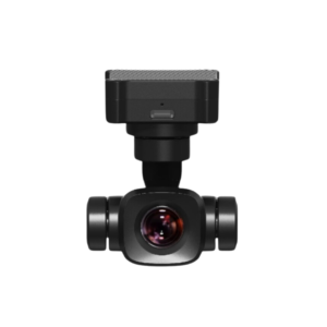
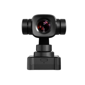
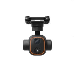
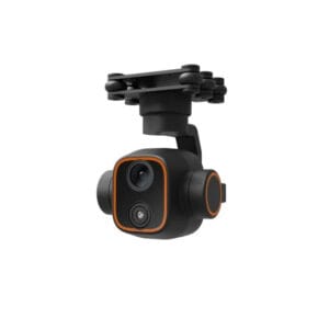
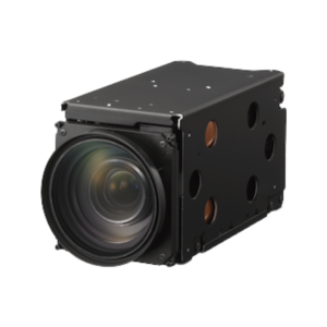
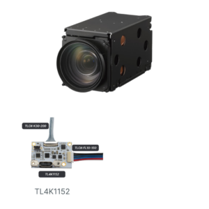
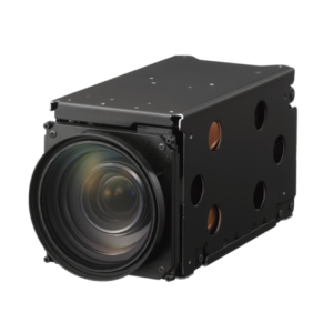
The DG6M2 from Riebo’s Performance Series is a professional-grade oblique photography camera built to meet the demands of urban mapping, 3D reconstruction, and topographic data capture. With an impressive 305MP total resolution, it delivers precise, high-definition visuals that support large-scale surveying with outstanding clarity.
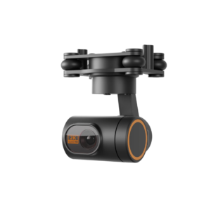
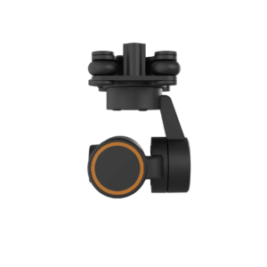
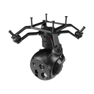
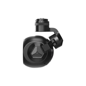
Compact Form Factor with Superior Sensor Design
Despite its high performance, the DG6M2 maintains a compact and lightweight build, measuring just 150 x 150 x 110 mm. It integrates a 35.9 x 23.9mm sensor, ensuring accurate and vivid image reproduction while maintaining compatibility with a wide range of UAV platforms. This compact structure allows for easy mounting and stable operation even in challenging flight environments.
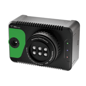
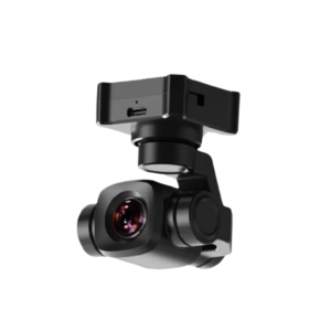
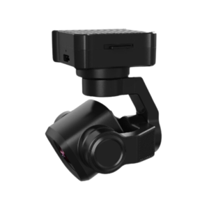
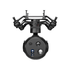
Interchangeable Dual Focal Length for Operational Flexibility
Supporting 40mm and 56mm focal lengths, the DG6M2 adapts smoothly to varying altitudes and terrain conditions. Whether you’re capturing expansive cityscapes or intricate architectural details, this flexibility allows for mission-specific optimization with ease.
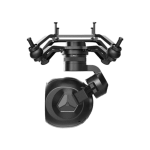
Optimized Field of View for Full Scene Coverage
The camera offers horizontal FOVs of 48? and 36? and vertical FOVs of 34? and 24?, designed to maximize oblique coverage and reduce blind spots during aerial imaging. As a result, it ensures that critical features such as building facades, roadways, and structures are captured from multiple perspectives?critical for 3D modeling accuracy.
High-Speed Data and Real-Time Video Output
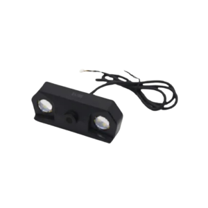
To streamline operations, the DG6M2 utilizes an external high-speed data transfer module that supports quick image offloading. Additionally, it features 1080P video transmission at 30fps via a single channel, giving operators a live visual during flight. This enables real-time adjustments and confidence during data acquisition. The 50?s exposure feedback accuracy ensures tight synchronization between camera and GNSS/IMU systems for precise geotagging.
Reliable Performance for Demanding Aerial Surveys
Built for professionals, the DG6M2 balances performance, durability, and precision. It is ideal for city planning, cadastral surveys, infrastructure monitoring, and other geospatial tasks that demand exceptional image quality and operational efficiency.