Your bag is empty
Don't miss out on great deals! Start shopping or Sign in to view products added.
Shop What's New Sign in
Available in stock
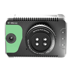
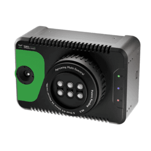
305MP full-frame sensor for high-clarity oblique imaging
Dual lenses: 40mm and 56mm for versatile mapping tasks
5-channel 4K/1080P video transmission in real-time
Compact and rugged build with 10?s exposure feedback
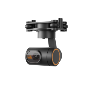
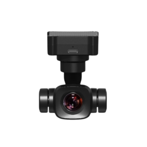
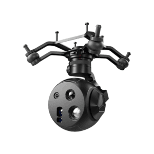
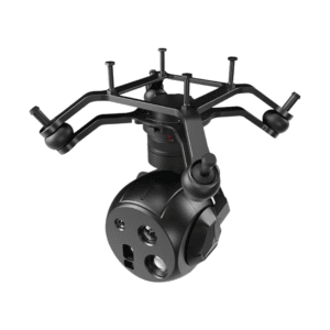
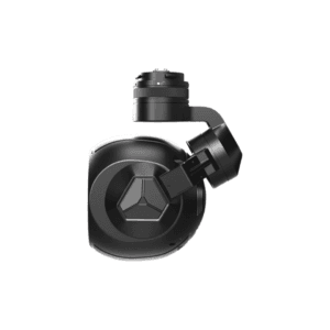
Precision Imaging for Advanced 3D Mapping
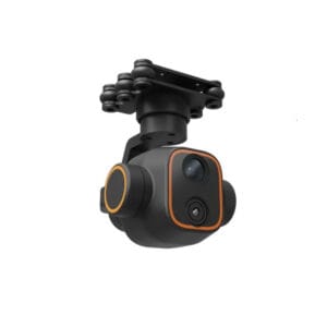
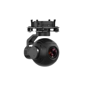
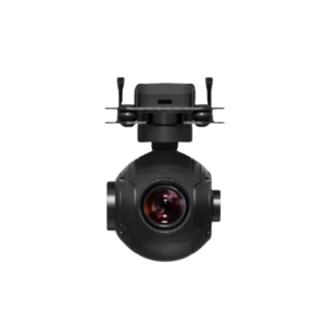
The DG6P Riebo Master Pro Oblique Camera is a high-performance aerial imaging system tailored for detailed 3D reconstruction, smart city planning, and urban surveying applications. With a 305MP total resolution, it captures crisp, high-definition oblique images essential for accurate modeling and analysis.
Balanced Sensor and Build for Efficient Workflows
Equipped with a 35.9 x 23.9 mm full-frame sensor, the DG6P strikes the perfect balance between resolution, size, and system integration. Its compact dimensions of 145 x 145 x 114 mm allow for easy installation on various UAV platforms without compromising performance or endurance.
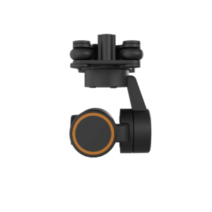
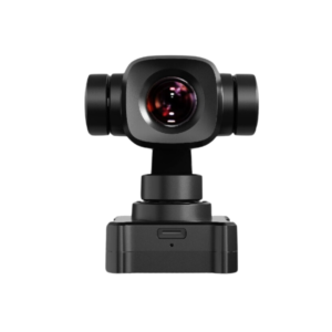
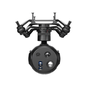
Dual Focal Lengths for Versatile Applications
The DG6P supports two interchangeable lenses: 40mm and 56mm. These focal lengths offer flexibility for both wide-area capture and detailed close-range imaging. Whether you’re mapping large urban expanses or documenting precise architectural details, this camera adapts seamlessly.
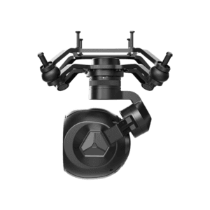
Optimized Field of View for Oblique Perspectives
It delivers horizontal FOVs of 48? and 36?, and vertical FOVs of 34? and 24?, enabling comprehensive multi-angle coverage. This configuration is essential for generating accurate 3D models of buildings, roads, and complex infrastructure from multiple angles.
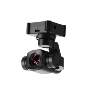
Real-Time Video & High-Speed Data Transfer
The DG6P features 5-channel real-time video transmission at 4K and 1080P @ 30fps, ensuring smooth monitoring and live feedback during flight. Its 10?s exposure feedback accuracy guarantees synchronization between imaging and GNSS/INS systems for centimeter-level mapping results. Data is rapidly offloaded via the external high-speed transfer module, streamlining post-flight processing.
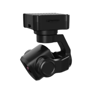
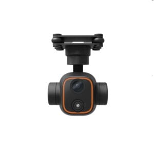
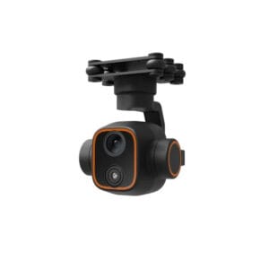
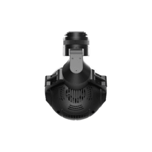
Durable Design for Demanding Environments
Built for field durability, the DG6P resists environmental stress while maintaining imaging stability and precision. It?s ideal for consistent performance over long survey missions and in varied terrain conditions.
A Perfect Fit for Smart Cities and GIS
The DG6P is the go-to choice for professionals involved in 3D urban mapping, GIS data acquisition, and city infrastructure projects. Its combination of imaging power, compact design, and precision syncing makes it a top-tier solution for advanced geospatial applications.