Your bag is empty
Don't miss out on great deals! Start shopping or Sign in to view products added.
Shop What's New Sign in

Available in stock
305MP resolution with 40mm/56mm dual-lens option
Compact design with 35.9 x 23.9mm sensor
4K and 1080P video output at 30fps (5 channels)
Exposure feedback with 10?s precision
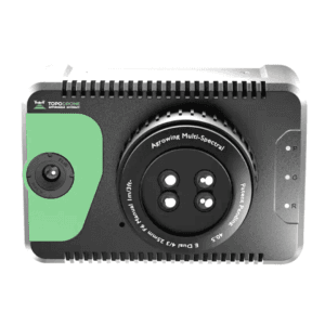
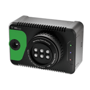
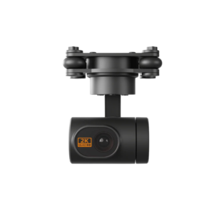
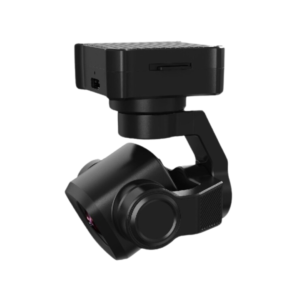
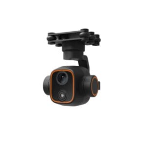
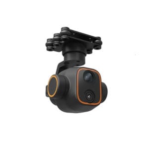
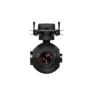
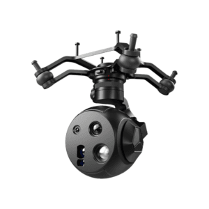
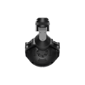
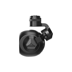
DG6Pros2 High-Resolution Mapping Camera
High-Precision Aerial Imaging for Professional Mapping
The DG6Pros2 is an advanced high-resolution mapping camera engineered for precision aerial surveying and photogrammetric tasks. With a remarkable 305MP total pixel count, it captures fine details with stunning clarity, making it an excellent choice for topographic mapping, urban planning, asset inspection, and more. Built for professional use, this camera delivers both reliability and performance in challenging field environments.
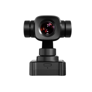
Compact Size, Powerful Capabilities
Although compact at 145 x 145 x 114mm, the DG6Pros2 houses a powerful 35.9 x 23.9mm sensor that ensures high-quality imaging with every shot. Its efficient form factor allows seamless integration with UAV platforms, particularly for applications where size and weight matter. This balance of size and performance makes it ideal for drone-based aerial missions.
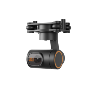
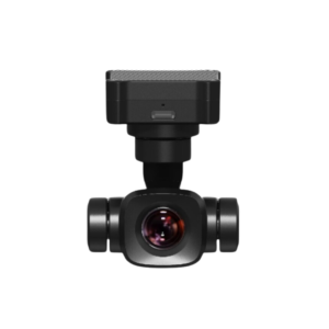
Flexible Dual-Focal Length Design
To enhance versatility, the camera supports dual focal lengths of 40mm and 56mm, enabling users to switch between wide-angle and zoom modes depending on the project?s scope. This flexibility makes it suitable for both close-range structural inspection and large-scale geographic mapping. Whether capturing dense urban landscapes or vast open fields, the DG6Pros2 adapts effortlessly.
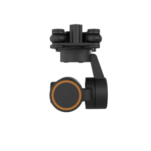
Wide Field of View for Maximum Coverage
The DG6Pros2 provides a horizontal field of view of 48? or 36?, and a vertical field of view of 34? or 24?, depending on the selected lens. These wide angles allow efficient area coverage during flights, reducing the number of required passes and significantly increasing productivity. As a result, operators can complete more work with fewer resources.
Real-Time Video & Precision Feedback
To support live operations and quality assurance, the camera delivers real-time 4K and 1080P video at 30fps across 5 channels. This stream enhances pilot awareness and enables real-time inspection of target areas. Furthermore, the camera features exposure feedback accuracy of 10?s, ensuring precise image timing. This is critical for applications that depend on synchronized GNSS and IMU data.
Fast and Reliable Data Handling
With an external high-speed data transfer module, DG6Pros2 ensures efficient file offloading post-flight. This minimizes workflow delays and keeps your survey teams moving. From data collection to processing, every step is streamlined for efficiency and accuracy.
Built for Demanding Field Conditions
Designed to withstand real-world usage, the DG6Pros2 maintains high performance even under tough conditions. Its solid construction and intelligent engineering support uninterrupted operations during intensive aerial missions.