Your bag is empty
Don't miss out on great deals! Start shopping or Sign in to view products added.
Shop What's New Sign in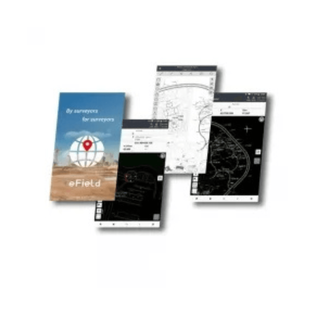
Available in stock
Powerful, Intuitive Surveying Software for Peak Field Productivity
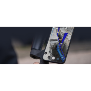
EFIX eField is a next-generation field survey software built to enhance productivity, accuracy, and ease of use in every geospatial project. Designed specifically for Android devices and EFIX data controllers, it serves as a versatile tool for land surveyors, construction engineers, and mapping professionals. Whether you’re conducting topographic surveys, construction layouts, or stakeouts, eField ensures you stay efficient, precise, and in full control.
With its clear, easy-to-navigate graphical interface and advanced features, eField helps reduce training time while delivering professional-grade results. The software bridges the gap between data collection and project completion, allowing you to handle every phase with speed and clarity.
Productivity begins the moment you launch EFIX eField. The intuitive interface, complete with visual guidance and simplified workflows, lets new users get started quickly without sacrificing depth. From measurement to stakeout, everything is designed to work with minimal taps and clear instructions?boosting your productivity in the field without requiring extensive training.
EFIX eField seamlessly integrates with EFIX GNSS receivers and third-party Android devices, offering a plug-and-play experience. Whether using an EFIX data controller or a rugged Android tablet, the software maintains consistent performance and precision throughout the project lifecycle.
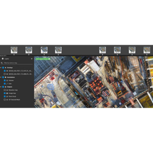
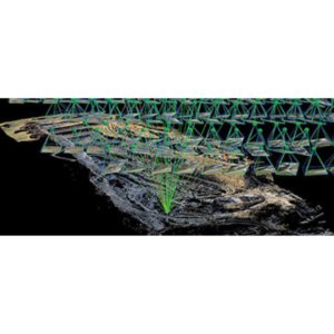
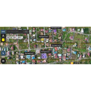
eField covers the full spectrum of field survey operations?topographic mapping, construction stakeouts, coordinate geometry (COGO), and more. Multiple measurement modes and stakeout options help you adapt quickly to varied site conditions. Support for a wide range of coordinate systems and data formats ensures interoperability with popular CAD, GIS, and post-processing software.
Key features include:
EFIX eField isn?t just about software?it?s a complete mobile solution designed to work seamlessly in the demanding conditions surveyors face. Whether under harsh sunlight, cold temperatures, or in remote terrains, the platform supports your workflow with unmatched reliability and clarity.