Your bag is empty
Don't miss out on great deals! Start shopping or Sign in to view products added.
Shop What's New Sign in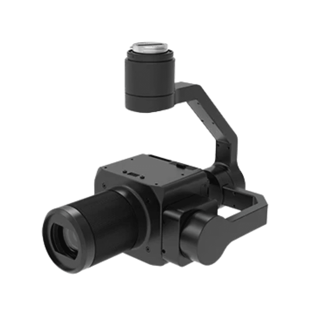
Available in stock
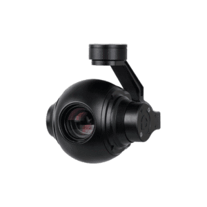
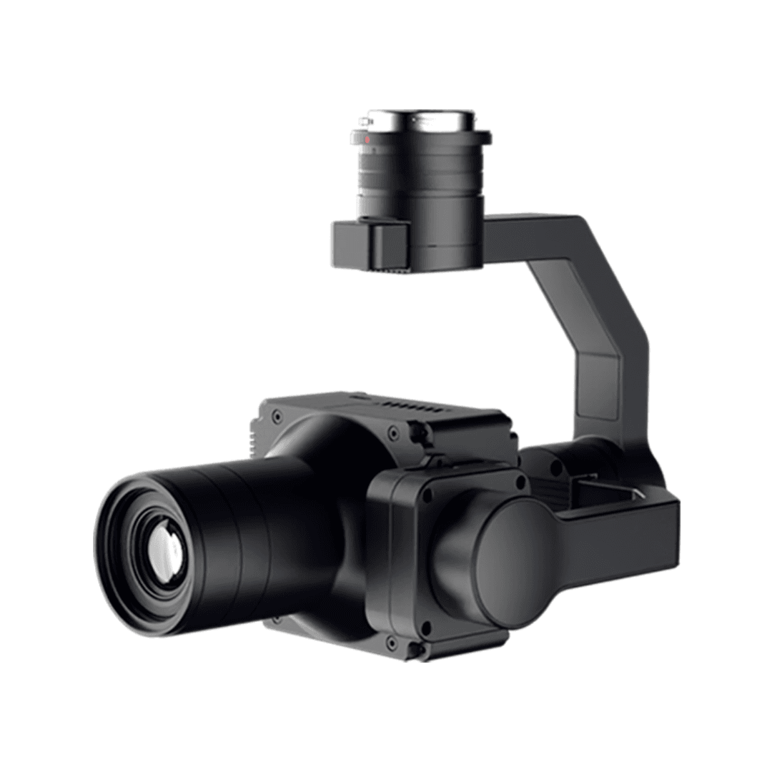
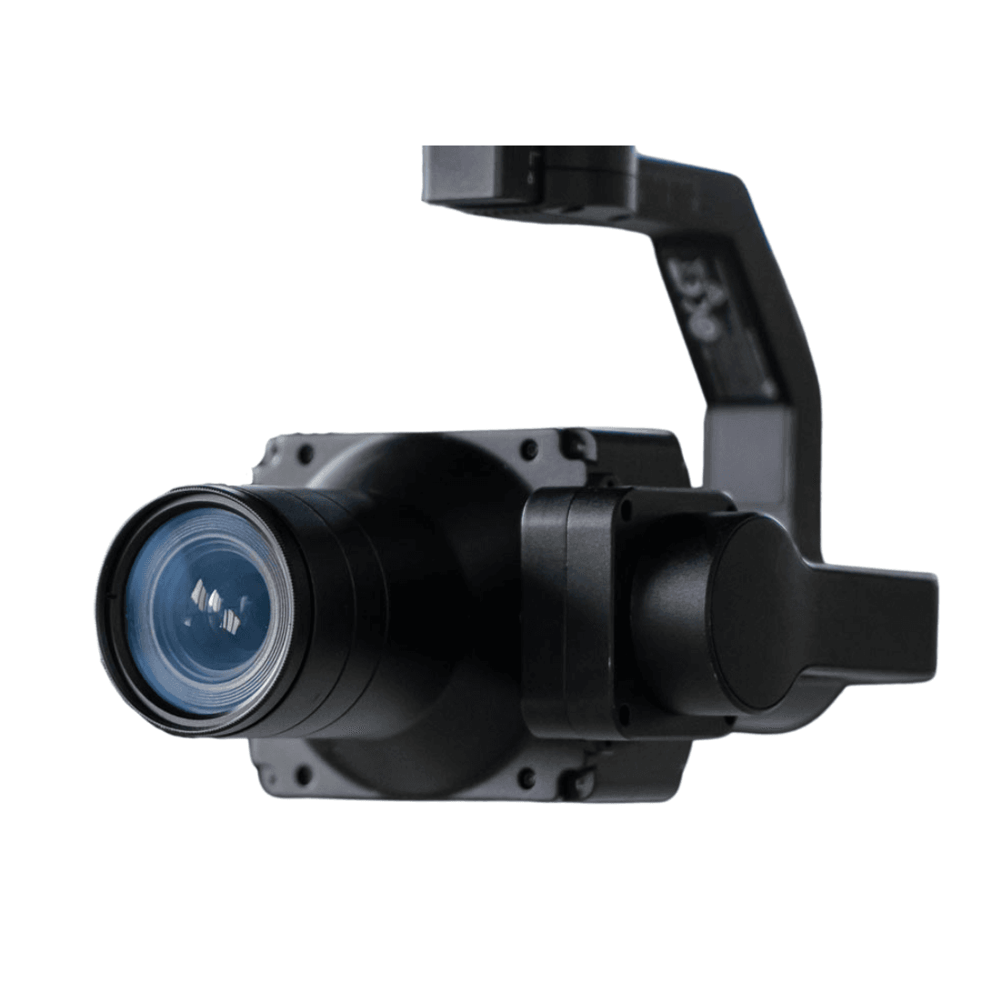
The R10Pros Image Infinity delivers 102 million pixels of unmatched image clarity with its medium-format back-illuminated sensor. Designed for aerial surveying and high-precision mapping, it offers an extended dynamic range, ensuring vivid detail and accurate color reproduction even in challenging lighting conditions.
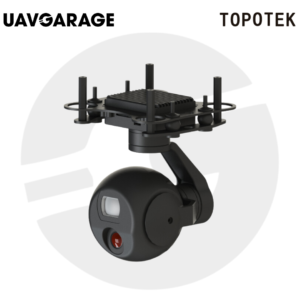
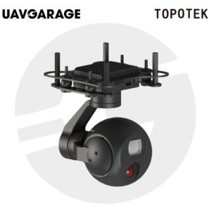
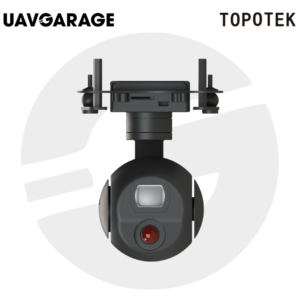
Weighing only 380g, the R10Pros is remarkably compact, making it compatible with a wide range of drones. Its lightweight build reduces flight load, enabling longer missions, fewer battery swaps, and greater operational efficiency in the field.
Equipped with a self-developed MLE lens, the R10Pros corrects chromatic aberrations, sharpens image detail, and improves the density and precision of aerial triangulation matching points. This results in superior modeling accuracy for survey and inspection work.
The MLS mechanical shutter minimizes image distortion and reduces RMS reprojection error by 20% compared to rolling shutters. Edge illumination calibration maintains consistent brightness across the frame, ensuring uniform image quality from center to edge.
With redundant data deletion and no-GCP positioning capability, the R10Pros streamlines workflows and reduces post-processing time. Its open SDK makes it easy to integrate into diverse aerial platforms, while the detachable gimbal enhances flexibility for different operational needs.
Operators can fine-tune image quality to suit different environments and mission requirements, ensuring optimal results for every application, from urban mapping to rural surveys.
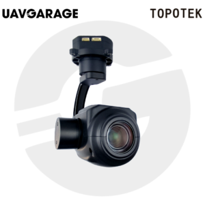
The R10Pros supports detachable gimbals and is compatible with various drone platforms, achieving multi-purpose functionality, greatly enhancing equipment ROI.
The Riebo Route Assistant (RRA) mission planning software comes standard, offering a variety of flight routes, including orthophoto, terrain following, vertical flight, and orbiting mode. And it widely applicable in smart cities, urban planning, inspection and beyond.
Compatible with the Riebo survey cameras using the V3 protocol, meeting various development needs, allowing integration or extension to other application platforms.
Total Pixels? -? 102MP
Sensor Size? -? 43.8*32.8mm
Dimension? -? 77*70*116mm
Focal Length? -? ?35/50/75mm
Data Transfer Mode? ?-? ?SD Card
Exposure Feedback Accuracy? -? 10?s
Video Transmission? -? ?4K & 1080P@30fps