Your bag is empty
Don't miss out on great deals! Start shopping or Sign in to view products added.
Shop What's New Sign in
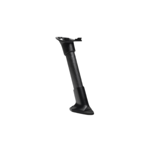
Available in stock
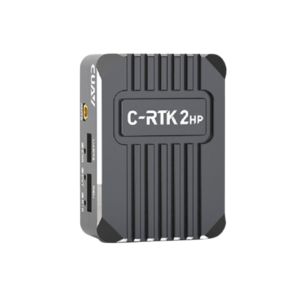
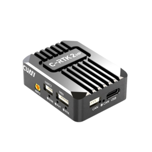
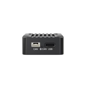
Compact and lightweight: 150g
Post-processed accuracy: 2?5 cm
Roll & pitch precision: 0.025?, heading: 0.08?
Rugged build for extreme temperatures and altitudes
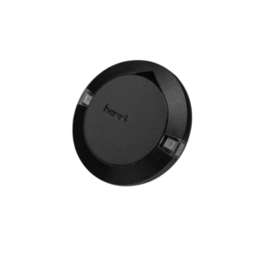
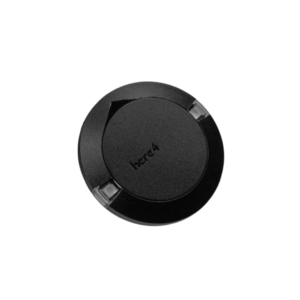
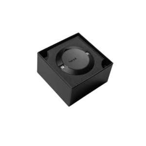
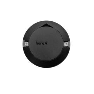
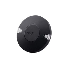
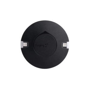
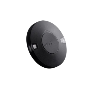
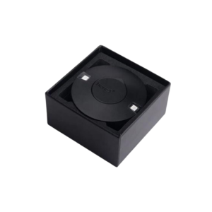
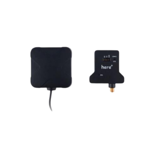
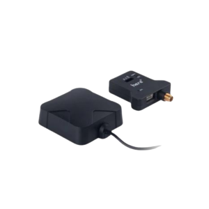
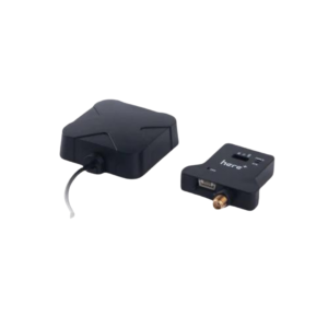
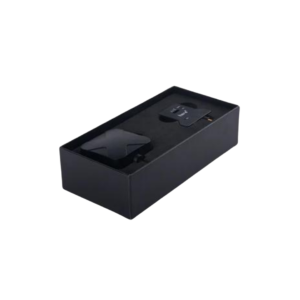
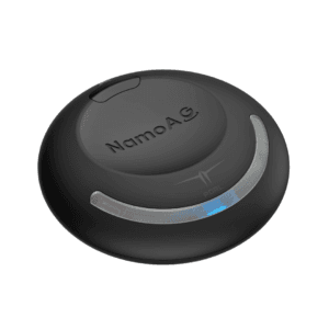
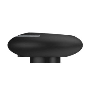
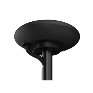
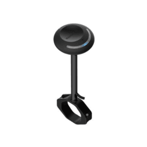
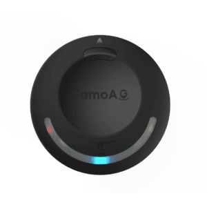
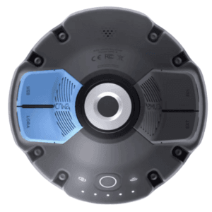
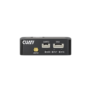
RPX High-Precision Inertial Navigation System
Advanced Inertial Navigation for Aerial Surveying
The Riebo RPX is a high-precision inertial navigation system tailored for professional aerial mapping and surveying applications. Built to meet the demands of large-area, high-accuracy data capture, RPX integrates a powerful GNSS receiver with sophisticated inertial sensors and advanced post-processing software. This smart combination significantly enhances the accuracy of aerial imagery while reducing the reliance on ground control points (GCPs).
Compact Yet Powerful Design
Despite its compact size of 93.5mm x 65mm x 29.3mm, the RPX is loaded with performance-driven features. Weighing just 150g, it is easy to integrate into a wide range of aerial platforms, including fixed-wing and multirotor UAVs. The system operates within a voltage range of DC9 to 30V and has a modest power consumption of just 4.5 watts, making it ideal for extended flight missions.
Exceptional Precision and Sensor Performance
With a post-processed positional RMSE of 2?5 cm, the RPX ensures survey-grade accuracy even in GNSS-challenged environments. Its roll and pitch accuracy reaches 0.025?, while heading accuracy is maintained at 0.08?, ensuring consistent and reliable orientation data. Two antennas are included for improved baseline measurement and robust signal performance.
Rugged for All Conditions
Engineered for durability, the RPX functions flawlessly in extreme environments. It withstands operating temperatures between -40?C to 75?C and storage temperatures as low as -55?C. Additionally, it operates in humid conditions ranging from 5% to 95% without condensation issues. With an altitude limit of 18,000 meters and a speed threshold of 515 m/s, RPX is well-suited for high-speed, high-altitude aerial operations.
Optimized Workflow with Event Synchronization
To enhance data precision, RPX supports up to 50Hz event input frequency, allowing accurate synchronization with aerial camera exposures. Moreover, its minimum signal strength requirement of just 32 dB ensures consistent data capture, even under sub-optimal signal conditions.
The RPX High-Precision Inertial Navigation System is a compact, efficient, and reliable tool for aerial mapping professionals. Whether you’re capturing data over vast terrains or in hard-to-reach zones, RPX boosts accuracy, reduces the need for ground references, and streamlines your entire workflow.