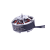
 GARTT Motor CW / CCW ML 3508 S 700KV ₹4,255.00
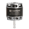 T-MOTOR AT2814 KV1050 Brushless Motor ₹8,279.00
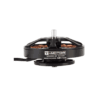
 T-Motor AT2826 KV900 Brushless Motor ₹11,845.00

 T-Motor AT2820 KV880 Brushless Motor ₹7,807.00
 T-Motor F45A 3-6S (ESC) Brushless Motor ₹5,463.00
 Blackmagic DeckLink Studio 4K ₹63,249.00
 T-Motor MN3110 KV700 Brushless Motor ₹7,130.00
- New

- Global Streaming: Securely broadcasts live drone video and telemetry to any device.
- AI Surveillance: Active alerts for perimeter breaches and unauthorized movement.
- Secure Data: End-to-end encryption for defense and law enforcement operations.
- Universal Access: Plug-and-play control from mobile, desktop, or command centers.
Inflight.live – A platform for Live Drone Streaming & Real-Time Mission Intelligence
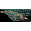
PIX4Dcatch: Transforms Smartphone or Tablet Into a Professional-Grade Surveying Tool
Price range: ₹165,626.00 through ₹633,335.00 excl. GSTPrice range: ₹165,626.00 through ₹633,335.00 excl. GST Select options This product has multiple variants. The options may be chosen on the product page Quick View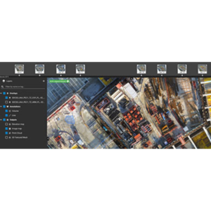
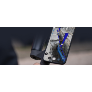
PIX4Dcloud: Web-Based Platform for Processing, Hosting, and Sharing Drone/Terrestrial Imagery
Price range: ₹134,375.00 through ₹467,710.00 excl. GSTPrice range: ₹134,375.00 through ₹467,710.00 excl. GST Select options This product has multiple variants. The options may be chosen on the product page Quick View
PIX4Dmapper: Industry-Standard Photogrammetry Software
₹415,626.00 excl. GST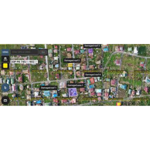
PIX4Dreact: High-Speed 2D Mapping Software
₹103,125.00 excl. GST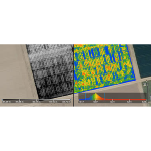
PIX4Dfield: Mapping Software for Aerial Crop Analysis and Digital Farming
₹207,292.00 excl. GST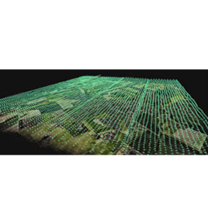
PIX4Dmatic: Photogrammetry Software for Professional Mapping
Price range: ₹238,542.00 through ₹519,793.00 excl. GSTPrice range: ₹238,542.00 through ₹519,793.00 excl. GST Select options This product has multiple variants. The options may be chosen on the product page Quick View
- GNSS post-processing in static, PPK, PPP, and RTK modes
- Ideal for surveying, UAV, GCPs, and road engineering
- Built-in tools for converting, calculating, and managing GNSS data
- Supports GPS, GLONASS, BeiDou, and Galileo
EFIX eOffice
- Built for high-accuracy GNSS survey and mapping
- Simple, intuitive interface?perfect for field teams
- Compatible with Android tablets and EFIX data controllers
- Supports topographic, stakeout, and COGO workflows
EFIX eField