Your bag is empty
Don't miss out on great deals! Start shopping or Sign in to view products added.
Shop What's New Sign in

Available in stock
<5 cm GSD (Ground Sampling Distance)
<10 cm Absolute X & Y Accuracy
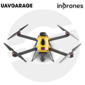
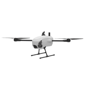
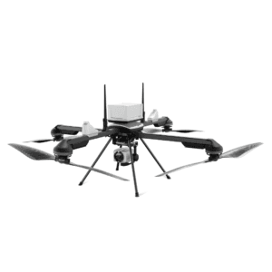
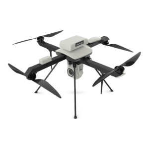
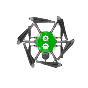
The RYNO UAV is a micro-category survey-grade UAV, designed for high-precision mapping and surveying tasks. It is equipped with a state-of-the-art post-processed kinematic (PPK) module, ensuring high accuracy for various applications. This UAV is well-suited for land surveys, mining area planning, and construction projects. The RYNO UAV has a ground sampling distance (GSD) of less than 5 cm, providing detailed and reliable mapping results. Its absolute X & Y accuracy of less than 10 cm ensures precise measurements for different surveying needs.
RYNO UAV is our micro category survey-grade UAV. It is equipped with an advanced mapping payload and a state-of-the-art post processed kinematic (“PPK”) module. RYNO UAV can be used for mapping, lnd survey, mining area planning, construction and real estate.
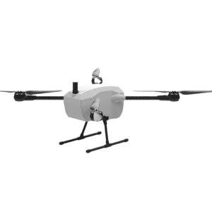
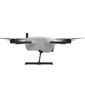
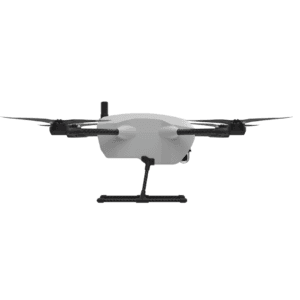
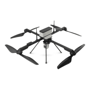
RYNO UAV is equipped with an advanced mapping payload that enhances data quality and ensures consistent survey-grade performance. The UAV features a high-resolution camera with less than 24 MP, capable of capturing detailed images for mapping. It also comes with 64 GB of onboard storage, which is expandable, offering flexibility for larger data sets. The APS-C sensor further enhances image quality, ensuring better precision and clarity during surveys. These advanced features allow the UAV to deliver accurate and reliable results in various environments, even in challenging terrains.
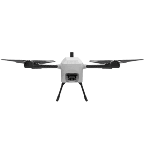
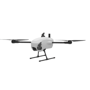
RYNO UAV can survey up to 1 square kilometer at 120 meters above ground level (AGL), offering extensive coverage. This capability makes it highly efficient for large-area surveying and mapping in a single flight. Whether used in mining, construction, or real estate, the UAV ensures effective data collection and analysis. The advanced PPK module helps in compensating for errors during flight, improving overall accuracy. Its portability and flexibility make the RYNO UAV suitable for a wide range of applications in industries that require precise data and mapping solutions.
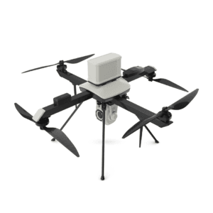
The RYNO UAV combines high accuracy, advanced technology, and portability, making it a reliable solution for survey-grade mapping.