T MOTOR MN3110 KV470 Brushless Motor ₹6,200.00
- GARTT Motor CW / CCW ML 3508 S 700KV ₹3,700.00
- T-MOTOR ESC AT 55A 6S Brushless Motor ₹3,450.00


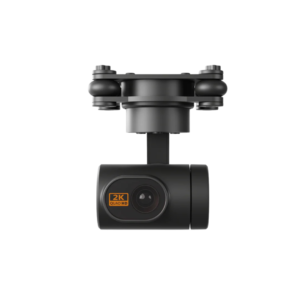
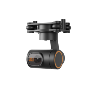
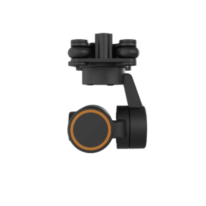
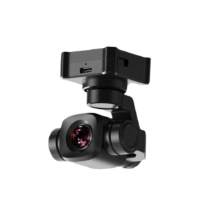
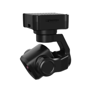
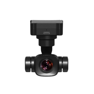
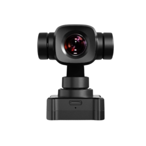
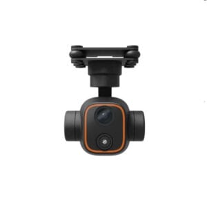
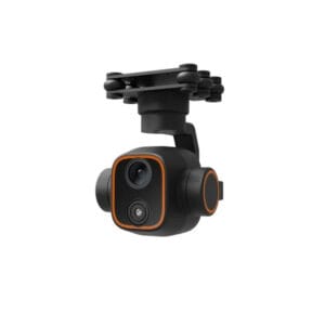
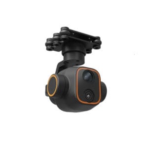
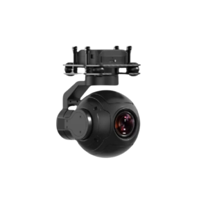
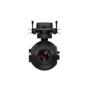
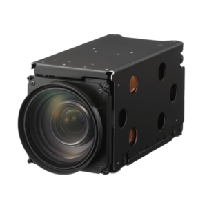
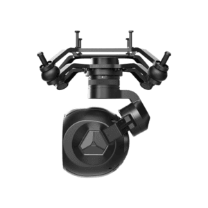
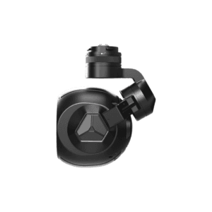
ADTI CAMERA -SURVERYOR LITE – 24L
₹105,000.00 excl. GST
Available in stock
M.R.P.: ₹123,900.00 Incl. GST
Description
ADTI CAMERA -SURVERYOR LITE – 24L
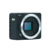
The ADTi 24MP 24L V1 Surveyor Lite is a powerhouse APS-C drone mapping camera engineered specifically for the rigors of professional aerial surveying and photogrammetry. While many mapping cameras are simply “gutted” consumer cameras, the Surveyor Lite is purpose-built from the ground up. Combining a high-resolution Sony CMOS sensor with a specialized lightweight chassis, it delivers the high-density data required for centimeter-level 2D maps and 3D models without the weight penalty of a full-size DSLR.
Key Features
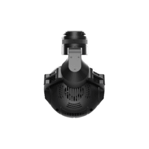
The heart of this camera is its 24.3MP APS-C sensor, which provides a significantly larger surface area than standard 1/2.3″ or 1″ drone sensors, resulting in superior dynamic range and lower noise. To ensure reliability during long missions in hot climates, it features an integrated active cooling fan, preventing thermal throttling that can lead to dropped frames or sensor degradation. It is fully compatible with the Sony E-mount system, giving pilots the freedom to swap lenses based on their flight altitude and required Ground Sampling Distance (GSD).
Specifications
Weight is everything in the drone world, and at just 120g for the body, the Surveyor Lite allows for longer flight times compared to heavier payloads. It supports a wide input voltage range of 10V to 25V, allowing it to be powered directly from your drone’s flight battery (3S?6S). The camera provides versatile output options, including HDMI for real-time monitoring and MAVlink compatibility, allowing it to interface seamlessly with Pixhawk and ArduPilot flight controllers for automated, GPS-triggered shutter releases.
Applications
The Surveyor Lite is the ideal “eye in the sky” for Construction Site Monitoring, where high-resolution 6000 x 4000 images are needed to track progress and calculate volumes. It is a staple in Agricultural Mapping, providing the clarity needed to identify crop stress or irrigation issues. For GIS Professionals, its ability to output RAW files ensures that every pixel of data can be color-corrected and processed with maximum fidelity for high-end orthomosaics. Whether you?re mapping a forest or a bridge, this camera provides the industrial-grade imagery required for serious data collection.
Specifications
Technical Specifications
| Feature | Specification |
| Sensor Type | Sony APS-C CMOS |
| Effective Pixels | 24.3 Megapixels |
| Max Image Resolution | 6000 x 4000 px |
| Lens Mount | Sony E-Mount (Removable) |
| Weight (Body) | 120g |
| Input Voltage | 10V – 25V DC |
| Video Resolution | 1080p @ 60fps |
| Cooling | Active Internal Fan |
| Operating Temp | -10 to 40°C |