Your bag is empty
Don't miss out on great deals! Start shopping or Sign in to view products added.
Shop What's New Sign in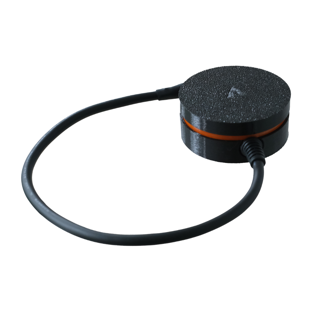
Due to changes in USD exchange rates, product prices have been revised. Contact us for special offers.
₹14,199.00 excl. GST
In Stock
M.R.P.: ₹16,754.82 Incl. GST
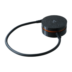
The axl Orbit NavIC is a compact, high-precision DroneCAN GNSS module engineered for Indian UAV builders. It natively supports NavIC, India’s sovereign regional navigation satellite system operated by ISRO. Furthermore, this dual-band L1 and L5 receiver tracks GPS, Galileo, BeiDou, and QZSS satellites simultaneously. Drone operators achieve up to 1-meter positioning accuracy with superior multipath signal rejection. Consequently, your unmanned aerial vehicles navigate safely through complex urban and rural environments.
The axl Orbit NavIC integrates a u-blox NEO-F10N dual-band L1 and L5 GNSS receiver.
Native NavIC SPS-L5 support provides reliable regional positioning across the Indian subcontinent.
A Bosch BMM350 3-axis magnetometer delivers accurate fused heading data during flight.
High navigation update rates reach up to 20 Hz for responsive autonomous control.
Built-in safety switch and internal buzzer simplify pre-flight checks and status alerts.
Low 100 mA power consumption preserves battery endurance on weight-sensitive drone builds.
This positioning module combines multi-constellation tracking with effortless flight controller compatibility. In addition, the receiver tracks up to 32 satellites concurrently for uninterrupted signal lock. Standard NMEA and UBX communication protocols integrate directly with popular open-source autopilots. Moreover, UART and I2C interfaces eliminate extra wiring overhead during aircraft assembly. Field engineers also customize the 30 cm connection cable to match custom airframe layouts.
The axl Orbit NavIC excels in commercial surveying, defense reconnaissance, and precision agriculture drones. For example, geospatial mapping teams capture accurate aerial data using 1.5-meter CEP positioning. Additionally, autonomous delivery drones maintain stable flight paths under challenging signal conditions. Industrial inspection multirotors also rely on its high-altitude rating up to 80,000 meters. Therefore, Indian UAV manufacturers trust this sovereign navigation solution for critical missions.
Supported satellite constellations include NavIC, GPS, GLONASS, Galileo, QZSS, and SBAS.
Operating frequency bands cover L1C/A at 1575.42 MHz and L5 at 1176.45 MHz.
Maximum operational dynamics support speeds up to 500 m/s and 80,000 m altitude.
Configurable serial communication runs at a default baud rate of 230400 bps.
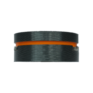
Circular protective housing measures 57 mm in diameter by 23.7 mm in height.
Standard wiring harness includes a 30 cm customizable cable assembly.
| Weight | 30 g |
|---|---|
| Dimensions | 5.7 × 5.7 × 2.3 cm |
| Unit of Measurement | Unit |
| Country of Origin | India |
| Manufacturer | axldrone |
| Manufacturer Address | Digital Hub, Kerala Technology Innovation Zone, Kinfra Hi-Tech Park Main Rd, Kalamassery, Kochi, Kerala - 683503, India |