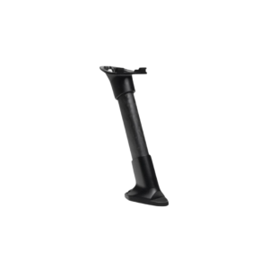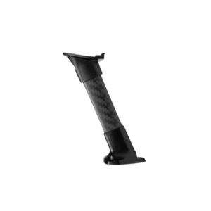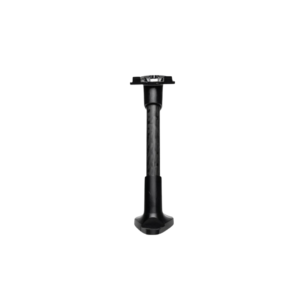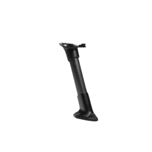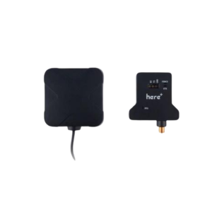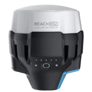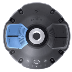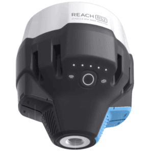
 Emlid RS2 GNSS Receiver - Base ₹198,000.00


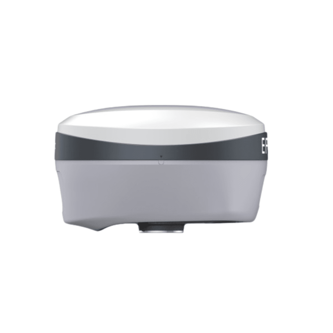

EFIX F8 VISION IMU-RTK GNSS
Important Pricing Update
Due to changes in USD exchange rates, product prices have been revised. Contact us for special offers.
Enquire Now
Combines GNSS, IMU, and dual-camera vision for high-precision surveying
Enables AR-based visual stakeout and real-time navigation
Handles complex, hard-to-reach, and signal-obscured locations
Supports 3D modeling and full CAD data integration from field to office
Description
EFIX F8 VISION IMU-RTK GNSS
The EFIX F8 VISION IMU-RTK GNSS seamlessly integrates cutting edge VISION, GNSS and IMU technologies to meet the needs of professional surveyors. It offers unparalleled accuracy and efficiency for surveying tasks.
With the integration of dual cameras, the F8’s advanced vision system allows surveyors to?effortlessly overcome obstacles and survey challenging terrain, including difficult-to-fix,?hard-to-reach, and hazardous points. Real-time visual feedback enables precise stakeout?without the complexity of offset methods, resulting in improved efficiency and accuracy.
By leveraging the capabilities of the F8, surveyors can streamline their workflow, increase?productivity and achieve exceptional results in every project they undertake.
FULL CONSTELLATION SUPPORT AND ADVANCED RTK ENGINE: RTK SIGNAL BOOSTED BY 60%!
- 1608 signal channels and advanced Full-Star algorithm to track full constellation and frequencies.
- High-efficiency SoC provides a 60% increase in processing speed.
EFFORTLESS AR VISION NAVIGATION + VISION STAKEOUT
- Convenient AR vision navigation with large arrows and accurate real-time distance indication.
- Immersive AR Visual Stakeout to vividly display ground stakeout points in the eField software, increasing efficiency by 50%.
VISION SURVEY: ACCURATELY MEASURE COMPLEX SCENES IN REAL-TIME
- Easily obtain high-precision 3D coordinates from real-time video, enabling accurate measurements of challenging scenes, including signal-obscured, hard-to-reach and hazardous points.
- High-speed dynamic panoramic shooting, high-quality and distortion-free image capture, automated image matching with up to 85% overlap rate.
EFFICIENT 3D MODELING FROM FIELD TO OFFICE
- Capture POS photos with F8’s Vision Survey for both individual building modeling and collaborative modeling with drones to complement aerial surveys.
- Seamlessly integrate F8’s engineering data into industry-standard software such as ContextCapture for 3D modeling.
FULLY INTEGRATED GNSS AND 4D AUTO-IMU
- Automatic 4D IMU initialization during motion eliminates initialization thresholds.
- Maintain IMU initialization throughout field operations to ensure continuous accuracy.
eField: EMPOWER ENGINEERING & CONSTRUCTION PROFESSIONALS
- Effortless stakeout with automatic rotation of the CAD base map based on the surveyor’s perspective.
- Smooth handling of large CAD drawings for efficient graphical operations.
- Optimize Triangulated Irregular Networks (TIN) for accurate earthwork calculations using advanced filtering techniques.
- Simplify road stakeout with graphical representation of cut-fill values imported via LandXML