


New
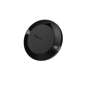
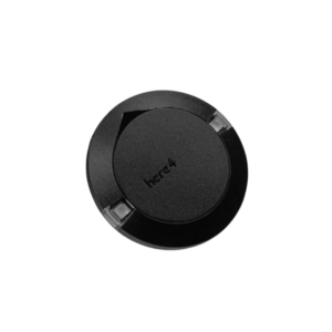
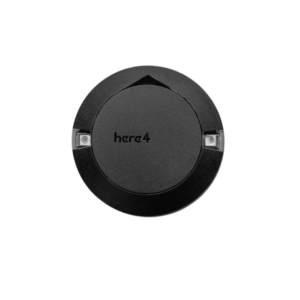
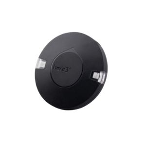
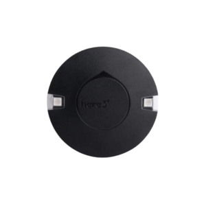
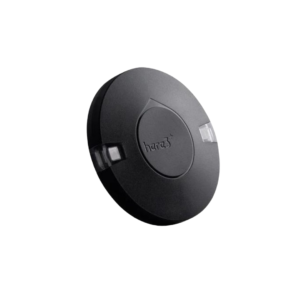
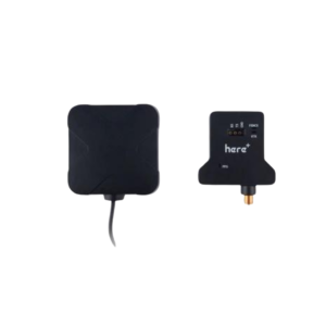
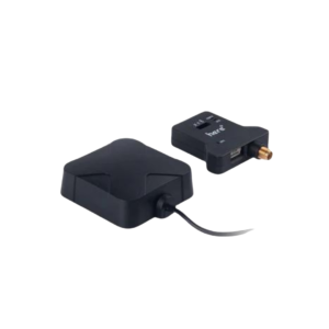
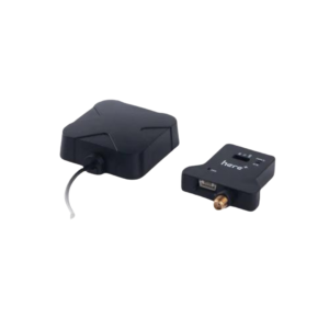
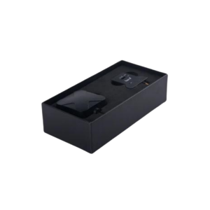
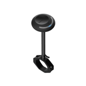
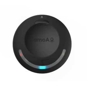
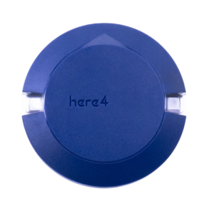
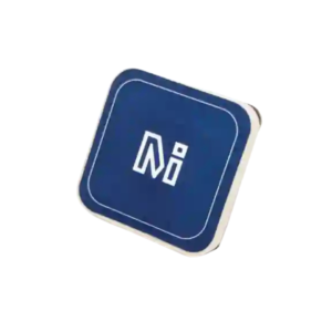
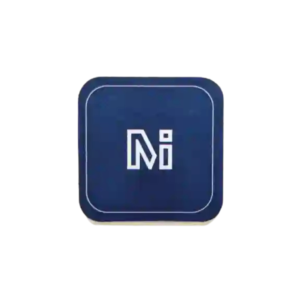
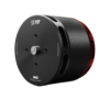
Here4 Blue Multiband RTK GNSS with NRF 2.4GHz Radio
⚠️ Due to an increase in USD prices, product prices have changed. Order now to avail special discounts.
₹31,999.00 excl. GST
Available in stock
M.R.P.: ₹37,758.82 Incl. GST
Description
Here4 Blue Multiband RTK GNSS with NRF 2.4GHz Radio
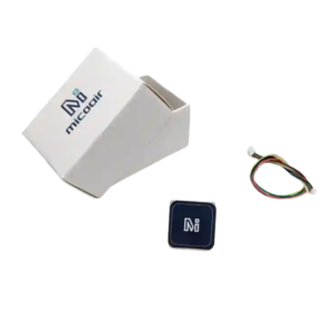
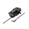
The Here4 Blue RTK GNSS is a professional navigation solution built for the modern drone industry. This advanced device utilizes a dual-band receiver to deliver centimeter-level positioning accuracy. Therefore, your unmanned aerial vehicle can achieve rapid real-time kinematic fixes even in challenging radio frequency environments. It supports multiple satellite constellations to ensure your aircraft maintains a rock-solid lock during critical commercial missions. Furthermore, this compact module serves as a self-contained avionics hub for your drone system. It integrates high-performance processors and industrial sensors to optimize flight path reliability.
Key Features
Advanced dual-band technology enables centimeter-level positioning accuracy for precision flight maneuvers.
Built-in high-performance processor runs custom peripheral firmware to manage dense navigation data.
Internal industrial sensors provide superior stabilization and work as a standalone flight controller.
Dual wireless modules support seamless real-time identification broadcasting and clean wireless configuration.
Dedicated hardware triggering interfaces streamline complex aerial photogrammetry and mapping workflows perfectly.
High-speed communications bus architecture guarantees reliable data transfer with the main autopilot.
Applications
Commercial operators deploy the Here4 Blue RTK GNSS for high-accuracy industrial surveying projects. Additionally, it provides the precise tracking necessary for automated agricultural spraying drones. Inspection teams install this module onto infrastructure monitoring platforms to maintain stable positioning near structures. Because it includes remote identification broadcasting, this device assists government fleets in meeting strict airspace compliance rules. It is an excellent choice for mapping, search and rescue, and advanced defense operations.
Additional Information
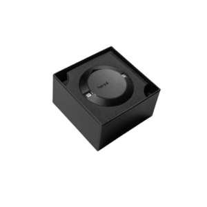
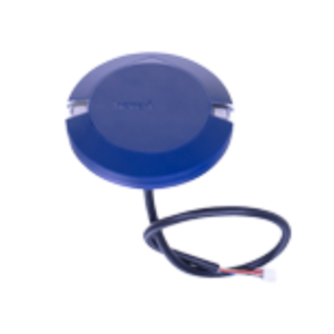
| Weight | 60 g |
|---|---|
| Dimensions | 6.8 × 6.8 × 1.6 cm |
| Unit of Measurement | Piece |
| Country of Origin | Taiwan |
| Manufacturer | CubePilot Pty. Ltd. |
| Manufacturer Address | Innovation Place, Douglas Street, Milton, QLD 4064, Australia |