Your bag is empty
Don't miss out on great deals! Start shopping or Sign in to view products added.
Shop What's New Sign in
Available in stock
M.R.P.: ₹69,474.86 Incl. GST
The PIX4Dfields Educational license brings the cutting edge of digital farming into the hands of students, researchers, and agronomists in training. This software is specifically designed for high-speed, in-field processing of drone imagery, allowing academic teams to analyze crop health without needing an internet connection. By providing a professional-grade toolkit for multispectral and RGB data, it enables the next generation of agricultural experts to master the workflows of precision farming, from plant counting to prescription map generation.
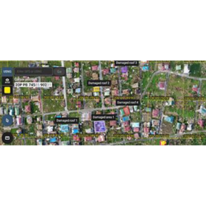
Efficiency is at the heart of PIX4Dfields. Its specialized Fast-Stitching engine can process hundreds of acres in minutes, making it ideal for classroom demonstrations and field trials. The software supports advanced radiometric calibration, ensuring that the vegetation indices (like NDVI and NDRE) generated by students are scientifically accurate and comparable over time. With the “Magic Tool,” an AI-driven anomaly detector, users can quickly identify weeds, pests, or irrigation leaks, teaching students how to turn raw aerial data into targeted field interventions.
Built to handle the demands of modern agricultural sensors, PIX4Dfields is compatible with a wide range of hardware, including the DJI Mavic 3 Multispectral and MicaSense sensors. Educational users have access to Zonation and Prescription tools, which allow for the creation of variable-rate application maps that can be exported directly to tractors or spray drones. The software also facilitates easy sharing through PDF Report generation and direct integration with PIX4Dcloud, allowing research teams to collaborate on datasets regardless of their physical location.
In Agricultural Research, PIX4Dfields is a vital tool for managing trial plots and evaluating the performance of different seed varieties or fertilizers. University Professors use the software to teach the principles of remote sensing and spatial data analysis in a way that is directly applicable to the current job market. It is also used in Sustainability Studies to demonstrate how precision mapping can reduce the environmental impact of farming by minimizing the use of chemicals through spot-spraying and targeted nutrient management.
Processing Time (Efficiency)Minutes (In-field)
Supported Sensors (Types)RGB, Multispectral, Thermal
Vegetation Indices (Predefined)10+ (NDVI, NDRE, etc.)
Zonation Capacity (Zones)Up to 7 Zones
Export Compatibility (Formats)SHP, KML, ISOXML, PDF