Your bag is empty
Don't miss out on great deals! Start shopping or Sign in to view products added.
Shop What's New Sign in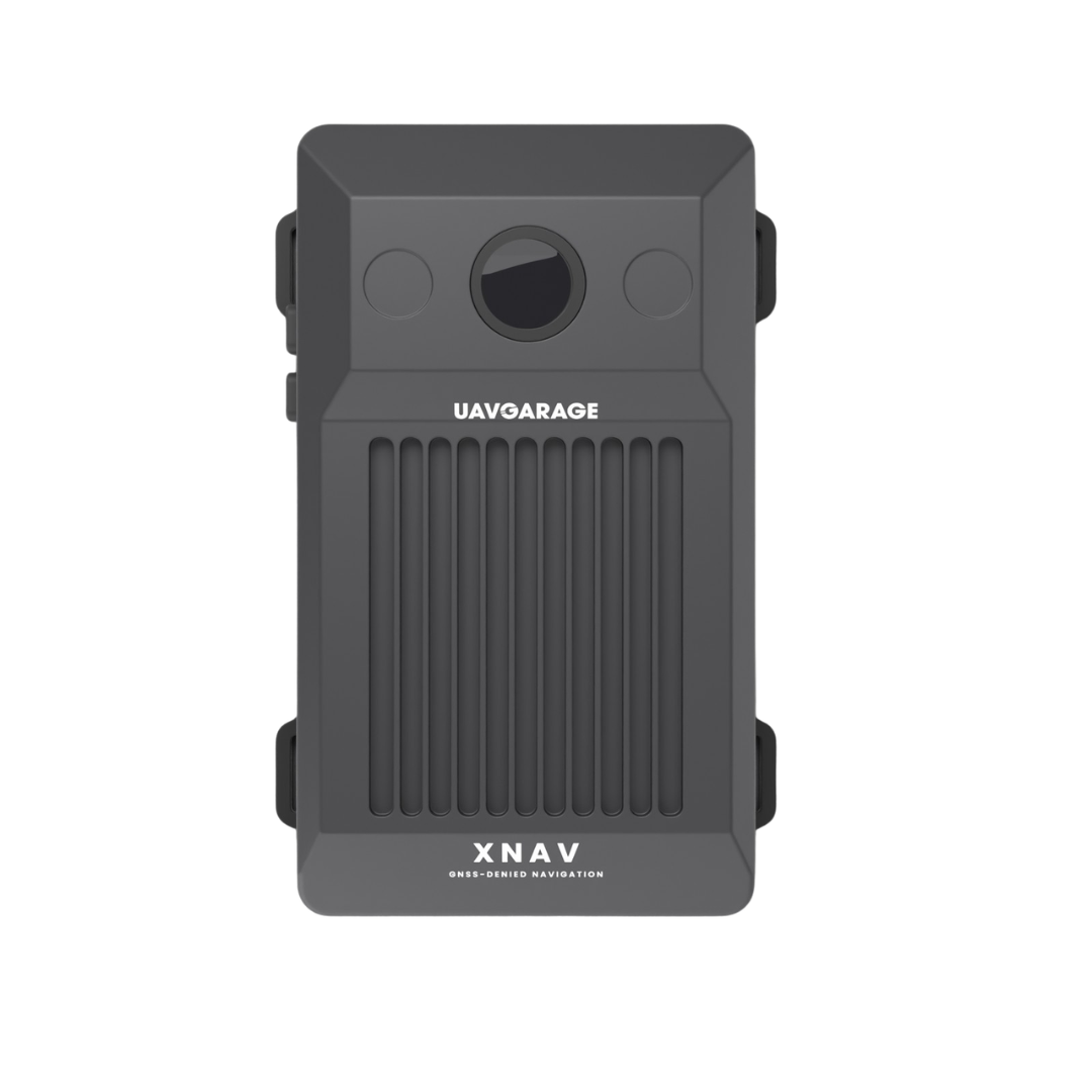
Due to changes in USD exchange rates, product prices have been revised. Contact us for special offers.
₹499,999.00 excl. GST
Available on Backorder
M.R.P.: ₹524,998.96 Incl. GST
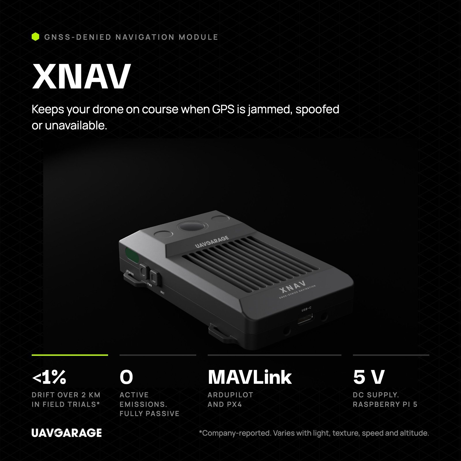
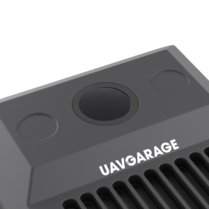
The XNAV Navigation Module (GNSS denied) keeps drones flying safely when satellite signals drop out. It sends trusted position and velocity data straight to your flight controller. Furthermore, this compact sensor works when GPS faces jamming, spoofing, or indoor blockages. Designed and built in India by Indrones, UAVGarage sells and supports this unit. Consequently, your autonomous drones finish critical missions without drifting or returning blind.
The XNAV Navigation Module (GNSS denied) achieves less than 1% drift over 2 km ranges in field trials.
It stays fully passive with zero radio, radar, or laser emissions for stealth.
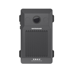
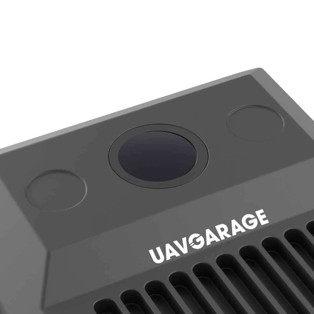
A global-shutter camera tracks ground features cleanly without rolling-shutter skew.
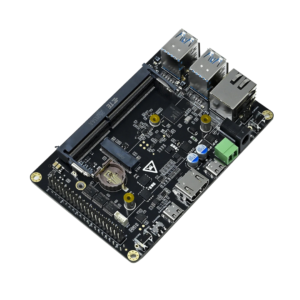
An onboard Raspberry Pi 5 fuses visual data with inertial motion readings.
Standard MAVLink output connects straight to ArduPilot and PX4 autopilots without custom firmware.
Extra Raspberry Pi 5 compute headroom lets teams run custom onboard vision tasks.
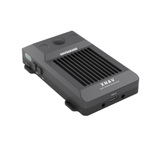
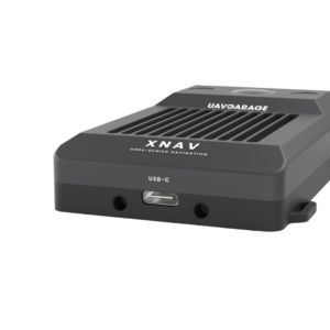
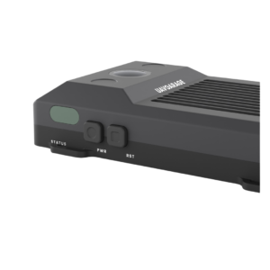
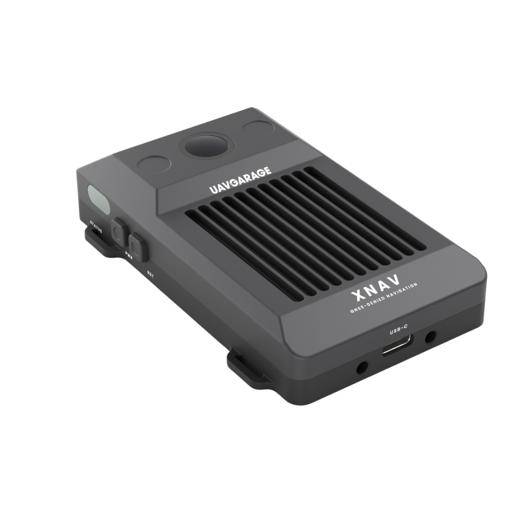
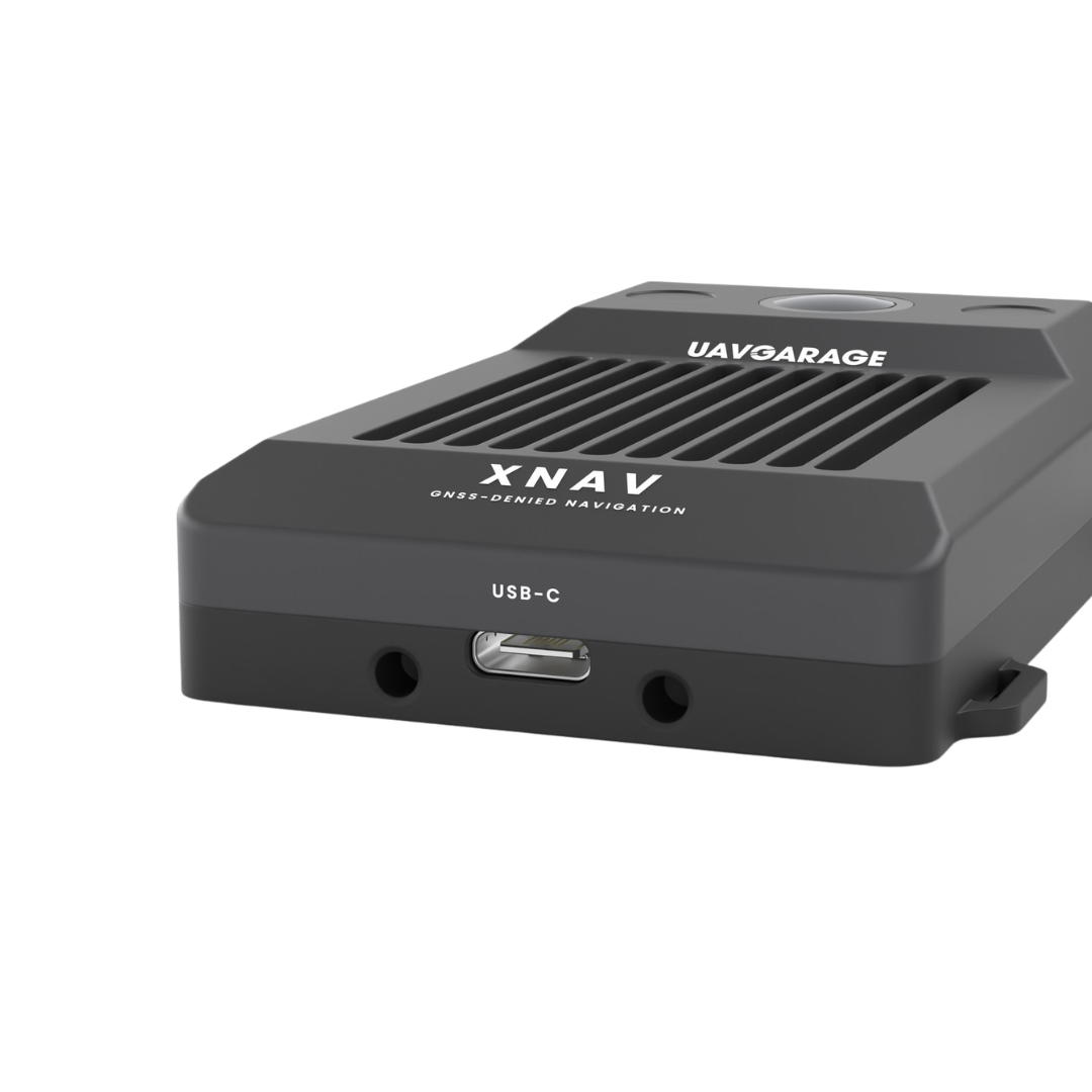
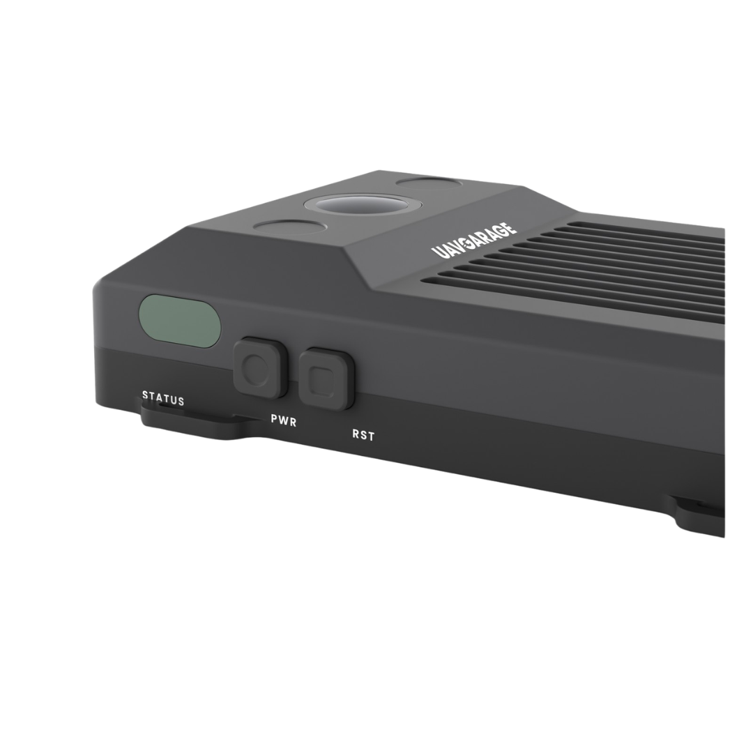
This smart sensor combines optical tracking with fast motion sensing in real time. In addition, the unit powers easily from a standard 5 V DC supply. You simply mount the module with a clear downward view on your frame. Moreover, field crews use the USB-C service port, status window, and corner mounting tabs. UAVGarage also helps builders with setup and flight controller tuning questions.
The XNAV Navigation Module (GNSS denied) excels in defense drones, indoor inspection, and canopy mapping. For example, security teams fly through active jamming zones during border patrol missions. Additionally, survey crews inspect deep mines, tunnels, and dense urban canyons safely. Research teams also use this Made in India unit for GPS-free drone autonomy. Therefore, operators rely on this system wherever sky views disappear.
Navigation uses visual-inertial odometry with a global-shutter camera and inertial sensor.
Core compute runs on a Raspberry Pi 5 with 5 V DC power input.
Telemetry sends MAVLink position and velocity data to ArduPilot and PX4 systems.
Compact size measures 64 mm by 99 mm by 21 mm for low SWaP.
Field housing includes USB-C, status LED window, power button, and reset button.
Note that tracking results vary with light, scene texture, flight speed, and altitude.